http://rla.unc.edu/Mdvlfiles/phd/Regnie ... %20PhD.pdf
Regnier's brilliant doctorl thesis.
She correctly identified the Mushkogean "Lamar" migrations,
and the refugees it generated along the Alabama River.
Her research into contact era Spanish artifacts was/is brilliant as well.
[Fpr my own note on this see, see my 1999-2000 essay "Everything is Connected":
http://abob.libs.uga.edu/bobk/ccc/ce090400.html
THE SITUATION AS DE SOTO FOUND IT
These emigrations left enmities which all European colonists were
easily able to exploit, including the Spanish Conquistador de Soto. In
1540 AD de Soto found the Southern Ceremonial peoples split into three
groups. While some of the exact locations are in hot debate right now,
the Kushita, Chickasaw, Alabama, and Abikas occupied a line stretching
from east to west along the south side of the ridge of mountains which
extends from the Appalachians out into the plain. The Southern
Ceremonial peoples still held control along the river basins south of
them, and despite the invaders' claims of having "white hearts", both
the Kushita and the Chickasaw tried to secure de Soto as an ally so
that they might attack these peoples.
Another pocket of Southern Ceremonial peoples had survived along the
western Tennessee river, from the Cherokee lands on to where the
Tennessee joined with the Ohio, and even short way up along the Wabash
River from where it meets the Ohio River. These peoples had been north
of the line of the Creek emigration and south of the line of the Lenape
emigration. With the Creeks to their south, these people did not attack
the Cherokee but instead held them under tribute.
Pockets of survivors were now starting to re-group as well. A small
group had re-established itself at Kaskasia, south of Cahokia. Other
groups were re-forming along the Arkansas and on the north of the
Arkansas plateau.
But de Soto was not only able to kill Native Americans directly; he
brought along with his army European diseases that moved almost as fast
as his army did.
...
THE CREEK COMPLETE THEIR CONQUEST
After de Soto's "visit" the Creek peoples used the opportunity
presented by the epidemics of European disease to sweep south and
complete their conquest of most of the southeast. In a short while
every Southern Ceremonial peoples that de Soto "visited" would be
extinct, with the exception of those few he did not "visit": the Yazoo
and Natchez on the southern Mississippi, and a few surviving Yuchi,
Shawnee, and Yamasee along the Atlantic coast.]
This has been subjected to many corrections,
some made in time for Man and Impact, other errors not caught in time.
But DeSoto had already exploited Mushkogean-Missisippian enmities back east,
and would do so again at Chicasa.
My own current guess is that Mavila lies off the old ancient road between today's Montgomery and Pensacola,
to the south of the Charlotte Thompson site.
The Search for Mavilla, 2016
Moderators: MichelleH, Minimalist, JPeters
-
E.P. Grondine
Re: The Search for Mavilla, 2016
See also the Pine Log Creek site
http://archeologyink.com/Spanishartifacts.pdf
http://www.archeologyink.com/Pine%20Log.htm
http://archeologyink.com/home/?cat=4
For DeSoto in Mississippi:
Rolling Hills Mississippi
http://archeologyink.com/home/?p=54
For DeSoto in Texas:
http://blogforelliscountytexashistory.b ... chive.html
http://archeologyink.com/Spanishartifacts.pdf
http://www.archeologyink.com/Pine%20Log.htm
http://archeologyink.com/home/?cat=4
For DeSoto in Mississippi:
Rolling Hills Mississippi
http://archeologyink.com/home/?p=54
For DeSoto in Texas:
http://blogforelliscountytexashistory.b ... chive.html
-
E.P. Grondine
Re: The Search for Mavilla, 2016
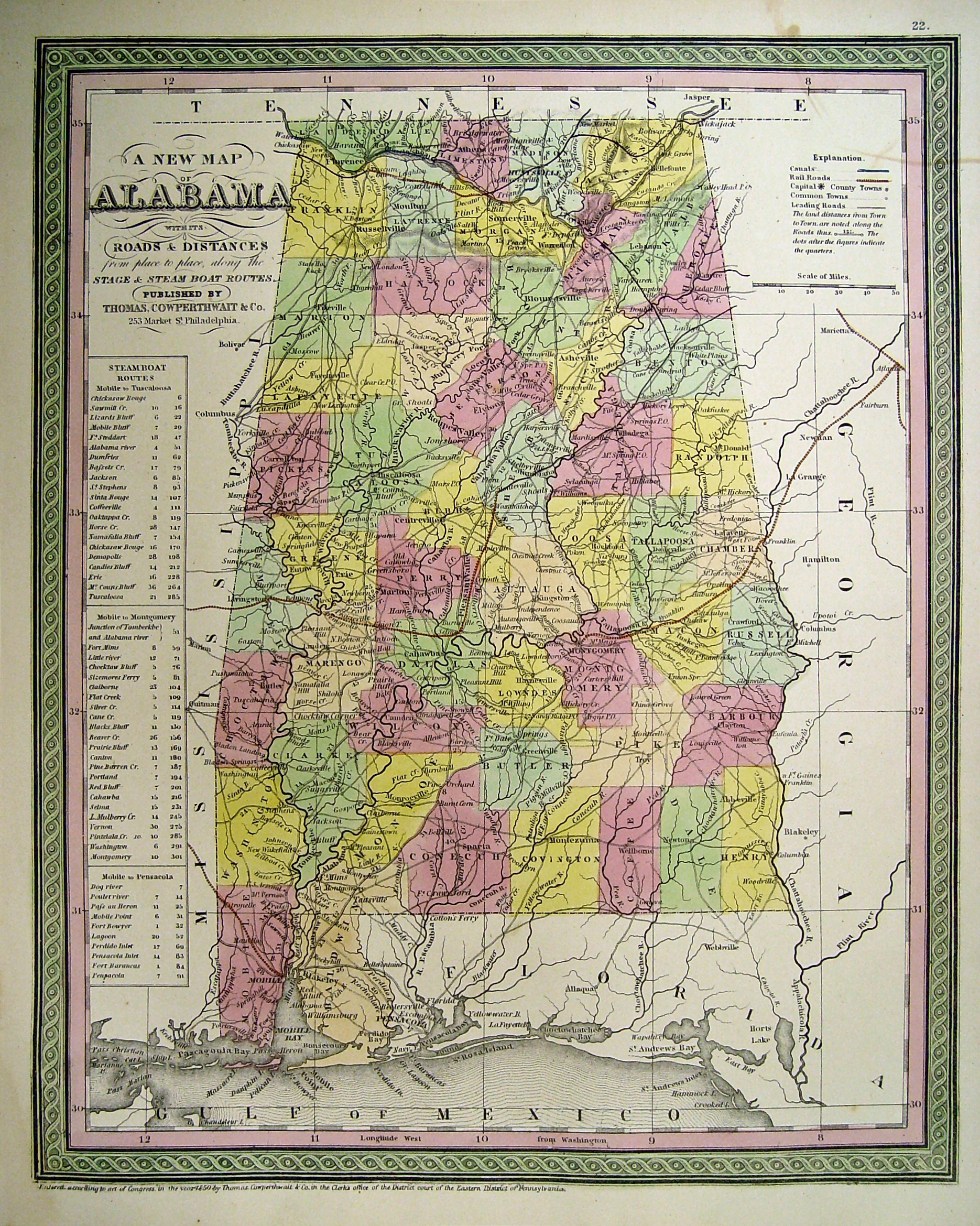
http://www.usgwarchives.net/maps/alabam ... lstate.jpg
Triangulation is commonly used in hunting meteorites.
Due to my concerns about looting, I am stopping public posts on this.
See y'all (you all) when you get there.
Triangulation is commonly used in hunting meteorites.
Due to my concerns about looting, I am stopping public posts on this.
See y'all (you all) when you get there.