Page 2 of 3
Posted: Tue Jun 10, 2008 2:19 pm
by Minimalist
What was the coast like at the LGM? What it is now is irrelevant. Sea level has risen quite a bit.
Posted: Tue Jun 10, 2008 2:20 pm
by kbs2244
Bit of a typo there RS;
Not there “are” forests in Antarctica, but “were.”
From the sound of this, however, it the time frames do not match.
http://findarticles.com/p/articles/mi_m ... ai_4164401
Posted: Tue Jun 10, 2008 2:52 pm
by kbs2244
A quick check on Google Earth shows a pretty good continental shelf on the east side of SA, but almost nothing on the west.
On the west it pretty much come straight up out of the trench.
On the southeast, big plains, all the way out past the Falklands to South Georgia.
On up north, along the coast, north of Rio, at least as big as on the NA east coast.
I don't think they came from the west.
At least not around the cape.
Maybe coasting along the north coast after crossing Panama.
But this was an established, inland, HG site.
And I stress “inland.”
They say the climate was different at their time, but the geology was not that different. Major mountains and rivers in the same places.
As much as I like the sea migration idea, there does not appear to be any boats in their rock art.
That means that either they were there so long they forgot about boats, or they didn’t use them and walked there.
But it is a heck of a long walk from Alaska.
And there is no shallow water in any other direction.
Posted: Tue Jun 10, 2008 4:33 pm
by rich
KB - check the measurements again on the west coast. Using Google Earth or World Wind 1.4 I come up with at least 45 KM distance for the shelf (at its thinnest point) - which yeah - not as big as the east coast, but still plenty of space to navigate.
Posted: Tue Jun 10, 2008 5:11 pm
by Beagle
The shelf off of the area we are talking about is fairly large. Other areas along the coast seem to have very little shelf.
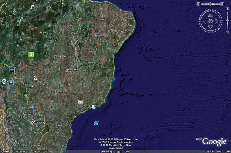
There also seem to be islands underwater in that area also.
Posted: Wed Jun 11, 2008 2:39 pm
by kbs2244
Yeah, Rich.
Plenty of room to navigate.
But that kind of assumes you know were you are going.
That is not a “bringing the family with” type of migration.
I don’t know what their cognitive ability was, but I do assume they were kind of conservative when picking up the whole family and going “around the corner.”
I do think we have to have a difference between professional traders, going to known places for known reasons, and a family guy leaving home, for whatever reason, and striking out into the unknown.
Posted: Wed Jun 11, 2008 3:27 pm
by Minimalist
That is not a “bringing the family with” type of migration.
Why not?
Stanford's Solutrean Hypothesis does not envision a "migration" ( in the sense of the Goths invading Gaul ) at all. He sees small groups moving along the ice and hunting sea mammals as they went. There was no conscious decision to migrate to a land that they did not know was there in the first place. However, ending up here, and finding the hunting good was a real bonus.
Who is to say what the peoples who moved around South America were doing? I do not, however, think there was any master plan. Just people following their prey and ending up where they ended up.
Posted: Wed Jun 11, 2008 3:33 pm
by rich
They could also be the ones who were pre-clovis in Northern America that might have left due to meterorites or whatever the theory was - or just a culture clash with another migration coming in from the northwest - so they went south??
But KB - sorry - were any of the migrations planned?? But it still looks like they brought their women with them either way - planned or not!
Posted: Wed Jun 11, 2008 6:47 pm
by kbs2244
OK, assuming a starting point of Monte Verde, which is I believe in Northern Chile.
You would have to go to Cape Horn, not a small trip in itself, around the Horn, (I will bow to RS as to the conditions), all the way back up the East coast, past the very inviting bay at Rio de la Plata, where Buenos Aires is, around the eastern most bump in the continent, head west past the Amazon mouth, find this little river and then go inland?
By the time you have done that you have traveled a distance equal to half way around the world and traveled through all kinds of climates.
I just do not see it as very plausible.
There have been too many good places to stop along the way.
It would be easier to belive they were stoways on Noahs Ark that jumped ship in the general area.
Posted: Wed Jun 11, 2008 6:54 pm
by Minimalist
There have been too many good places to stop along the way.
And they may well have stopped. And then resumed their travels. All we know is where they were when they were at Pedra Furada. We don't know that they stayed there for the rest of their lives.
Posted: Wed Jun 11, 2008 6:59 pm
by Sam Salmon
kbs2244 wrote:...assuming a starting point of Monte Verde, which is I believe in Northern Chile.....
Monte Verde is in south central Chile
http://en.wikipedia.org/wiki/Monte_Verde
Posted: Wed Jun 11, 2008 7:06 pm
by rich
Also no saying it was done by one generation. It could have been done in a series of small trips with each generation stopping at a certain point to lay down roots and then after a while another generation of younger more frisky adventurers could have continued for another leg of the journey.
Posted: Thu Jun 12, 2008 11:35 am
by kbs2244
I am with you on the idea Rich.
That is why I mentioned the possibly of other sites along the way.
There has to be some.
Currently because of the "bump" the East Coast is about twice as long as the West.
Even longer when the water was lower.
When is the last time there was a dig in South Georgia Island?
Posted: Thu Jun 12, 2008 2:18 pm
by rich
Wasn't aware they had any real digs on South Georgia Island. Thought they were more concerned about rat infestation.
Unless you're referrin to the ancient cult of the short, web footed, feathered nuns they had there?
Posted: Mon Jun 16, 2008 7:45 am
by rich
RS wrote:
Wait a second: I recall reading that the Amazon river's flow direction was exactly the other way around, long ago.
Question is, how long ago? And did that influence man's travels and tribulations, or are we talking millions of years here?
Checked it out -
The once westward roll of what is now the world's largest river was caused by a long-gone highland near what today is the river's mouth. That highland was created by the breaking away of South America from Africa and the creation of the Atlantic Ocean during the Cretaceous Period, 65 to 145 million years ago. Later, when the Andes rose up on the western side of South America, the river had no choice but to drain into the new ocean.
Article is from Science Daily -
http://www.sciencedaily.com/releases/20 ... 085229.htm
First section says:
ScienceDaily (Oct. 25, 2006) — Ask any South American dinosaur which way the Amazon River flows and she would have told you east-to-west, the opposite of today. That's the surprising conclusion of researchers studying ancient mineral grains buried in the Amazon Basin.