The Old World is a reference to those parts of Earth known to Europeans before the voyages of Christopher Columbus; it includes Europe, Asia and Africa.
Beagle wrote:In the old Sarasvati river system many settlements and cities are being discovered, and is culminated with the hypothesized sunken city of Dwarka in the Gulf of Cambay. All of these cities are at least older than 2,000 BC. Some are walled and others are not. This is a rather extensive civilization, probably easier older than the Sumerian. Megarh is dated to 6,000 BC.
But then, Bob Ballard hasn't yet scoured the Persian Gulf, has he?
Beagle wrote:But then, for our discussion, what constitutes a civilization?
I'd say a settlement or number of connected settlements with a couple thousand souls and some sort of (governmental) system of rules, and a distinct culture.
Last edited by Rokcet Scientist on Wed Mar 26, 2008 7:01 pm, edited 1 time in total.
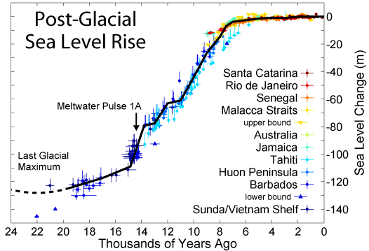
Indeed, kb. And it all falls into place if you consider that by then the sealevels had been rising, fast at times, for a couple thousand years. Flooding coastal settlements and forcing the people to learn to deal with open water. Whether they liked it or not. And since neccessity is the mother of invention seafaring was born...
By the way. I can agree that a politically separated, but with a common history, “culture” can be a “civilization” without any central authority.
That seems to be the case in Meso-America, Greece, and the various city states through out history that we consider linked.
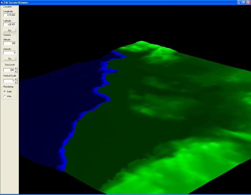
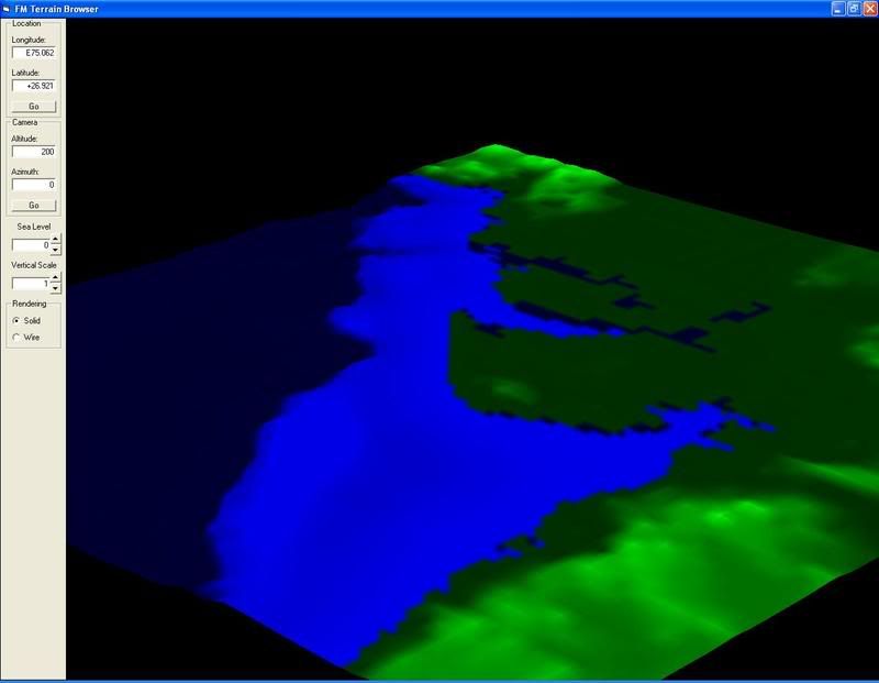
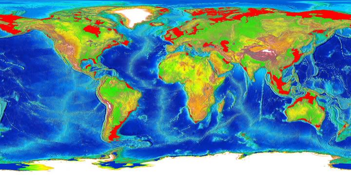
Some more illuminating images to put the era of ice ages and land masses then into perspective:
And since 90% of human activity is within 80 miles of the seashore – then as now – 90% of any remnants of their activities is now well and truely sunk. A job for Bob Ballard et al.
Something is wrong here. War, disease, death, destruction, hunger, filth, poverty, torture, crime, corruption, and the Ice Capades. Something is definitely wrong. This is not good work. If this is the best God can do, I am not impressed.
And btw, those sun-headed men in the rock art - they are found all over the world. Even later European art used the same artistic symbol to denote a "saintly" person. A universal concept maybe.
RS - could earthquake events or softer land being washed off from rains or tsunamis or whatever have accounted for enough of a land mass to account for more continuous land connections?
i'm not lookin' for who or what made the earth - just who got me dizzy by makin it spin
The the Sunda Straight and Gibralter are much too wide to have been bridged in that manner Rich. Currently Gib is 14 miles wide and Sunda is 16 at it its narrowist.
That would require one hell of a lot of slippage. Sunda has been deep sea for millenia, it is only now narrow, and narrowing, as Australia continues to grind its way north. One day Oz will be connected to the Malay peninsula.