Archaeologists are uncovering a huge prehistoric "lost country" hidden below the North Sea.
This lost landscape, where hunter gatherer communities once lived, was swallowed by rising water levels at the end of the last ice age.
University of Birmingham researchers are heralding "stunning" findings as they map the "best-preserved prehistoric landscape in Europe".
This news is exciting. Underwater archaeology is just beginning to bear fruit. This "country" was submerged in 6,000 BC.
From Arch. News.
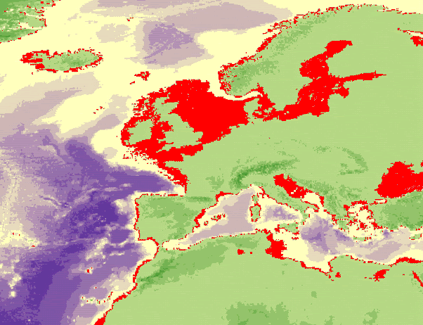
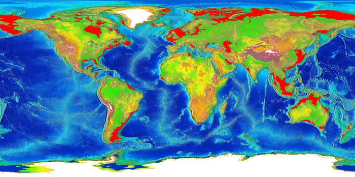
This is a rough target map for paleolithical and early holocene exploration in Europe: basically it's Europe's continental shelf. That's where by far most people lived, not in the mountains. So that's where any remnants would be located, so that's where you go looking for them.
Obviously, exactly the same holds true for the rest of the world.
Last edited by Rokcet Scientist on Mon Apr 23, 2007 3:23 pm, edited 3 times in total.
Yeah Sam, there is probably a world of lost civilization to be found underwater. It seems the technology has finally gotten to the point that real exploration can begin. Actually it's already started.
I've been seeing around an article per week on this subject.
I have long been a fan of underwater Archeology.
Maybe just because of it's anti-establishment bent.
But all these discoveries kind of lead to the question of
"Why did they live on the coast?"
kbs2244 wrote:I have long been a fan of underwater Archeology.
Maybe just because of it's anti-establishment bent.
But all these discoveries kind of lead to the question of
"Why did they live on the coast?"
For the same reason that most humans live by the sea now.
Something is wrong here. War, disease, death, destruction, hunger, filth, poverty, torture, crime, corruption, and the Ice Capades. Something is definitely wrong. This is not good work. If this is the best God can do, I am not impressed.
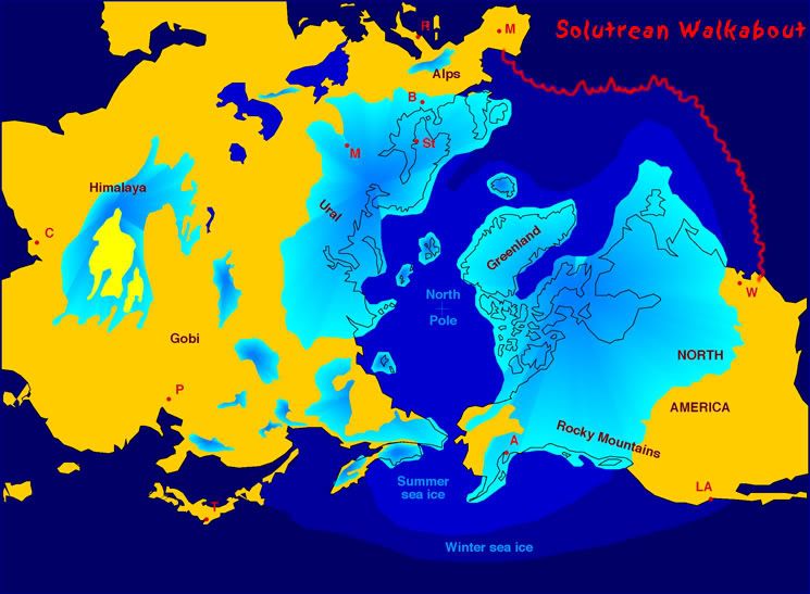
Forum Monk wrote:Of course, I should mention, the ice it not shown and it was as far south as modern France and Spain iirc.
That was the sea-ice. The land-ice got about as far as the south of England, across the Netherlands, and the middle of Germany and Poland. As we speak I'm sitting on an end moraine of the Würm. And no, it doesn't hurt, thank you.
The re-creation of the ancient landscape shows that the land beneath the North Sea was probably more than merely a land bridge to Britain.
"The places you wanted to live were the big plains next to the water, and the coastline was way beyond where it is now. This was probably a heartland of population at the time," Professor Gaffney said.
"This completely transforms how we understand the early history of north-western Europe.
"This is the best preserved prehistoric landscape, certainly in the whole of Europe and possibly the world."
More on the original post. From Archaeologica News.
Scientists compiled three-dimensional seismic records from oil-prospecting vessels working in the North Sea over 18 months to piece together a landscape covering 23,000 square kilometres, stretching from the coast of eastern England to the edge of northern Europe, just short of the south coast of Norway. The scientists identified the scars left by ancient riverbeds and lakes, some 25 kilometres across, and salt marshes and valleys.
This is the detail we need to find ripe hunting grounds off the coasts of France and Spain...old alluvial deposits.
The re-creation of the ancient landscape shows that the land beneath the North Sea was probably more than merely a land bridge to Britain.
...
"This completely transforms how we understand the early history of north-western Europe.
I am always mystified when I see these kinds of statements. Why wouldn't he say, "we always thought we would find evidence of human existence on sunken lasdscapes but have been lacking the technology to find them."?
It almost seems they forgot that landmasses were exposed for 1000s of years, that sea levels have risen and fallen, or that continental plates drift around.